 365
365
The wild west. The surprising landscapes of Puebla de Don Rodrigo
Ciudad Real

This trip takes us to the Wild West of Ciudad Real, where the Guadiana river and the Frío river, now on the Extremadura border, offer two remarkable examples of natural beauty. This trip is for hikers, as the two stages we recommend involve a 1-hour walk and a 3-hour hike.
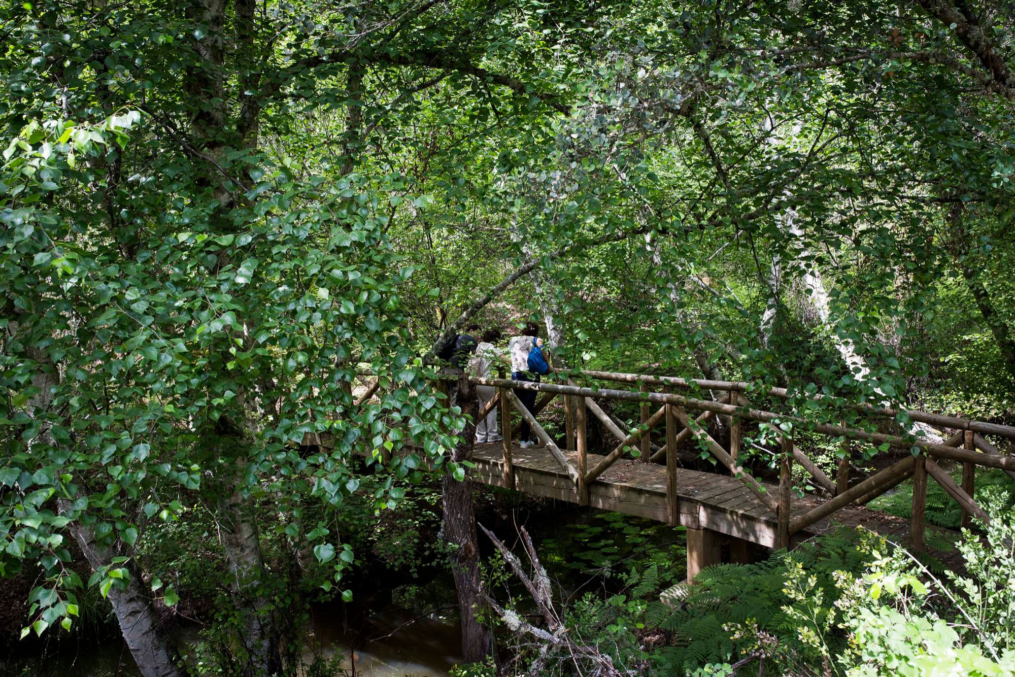
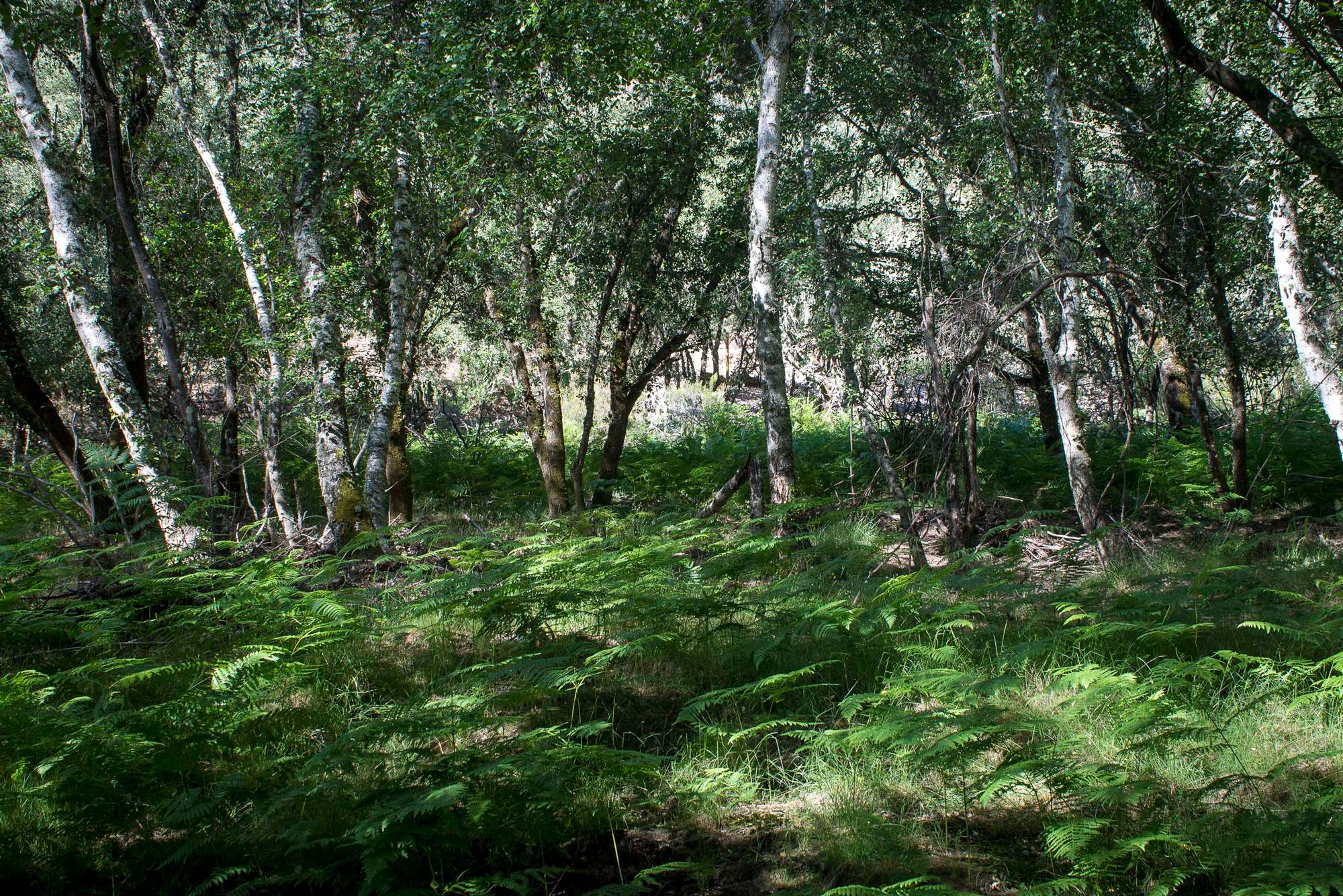
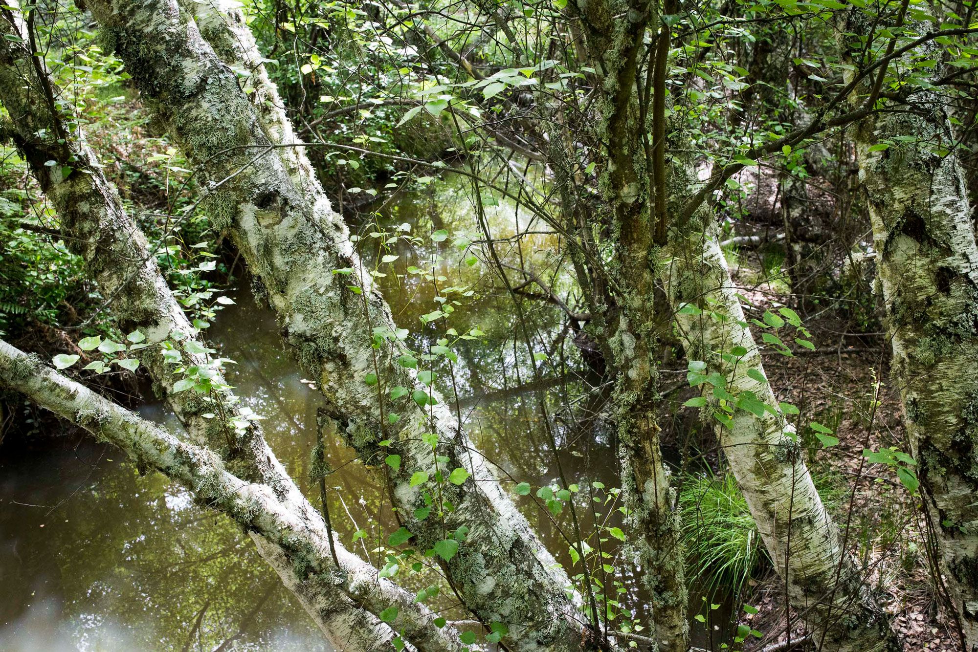
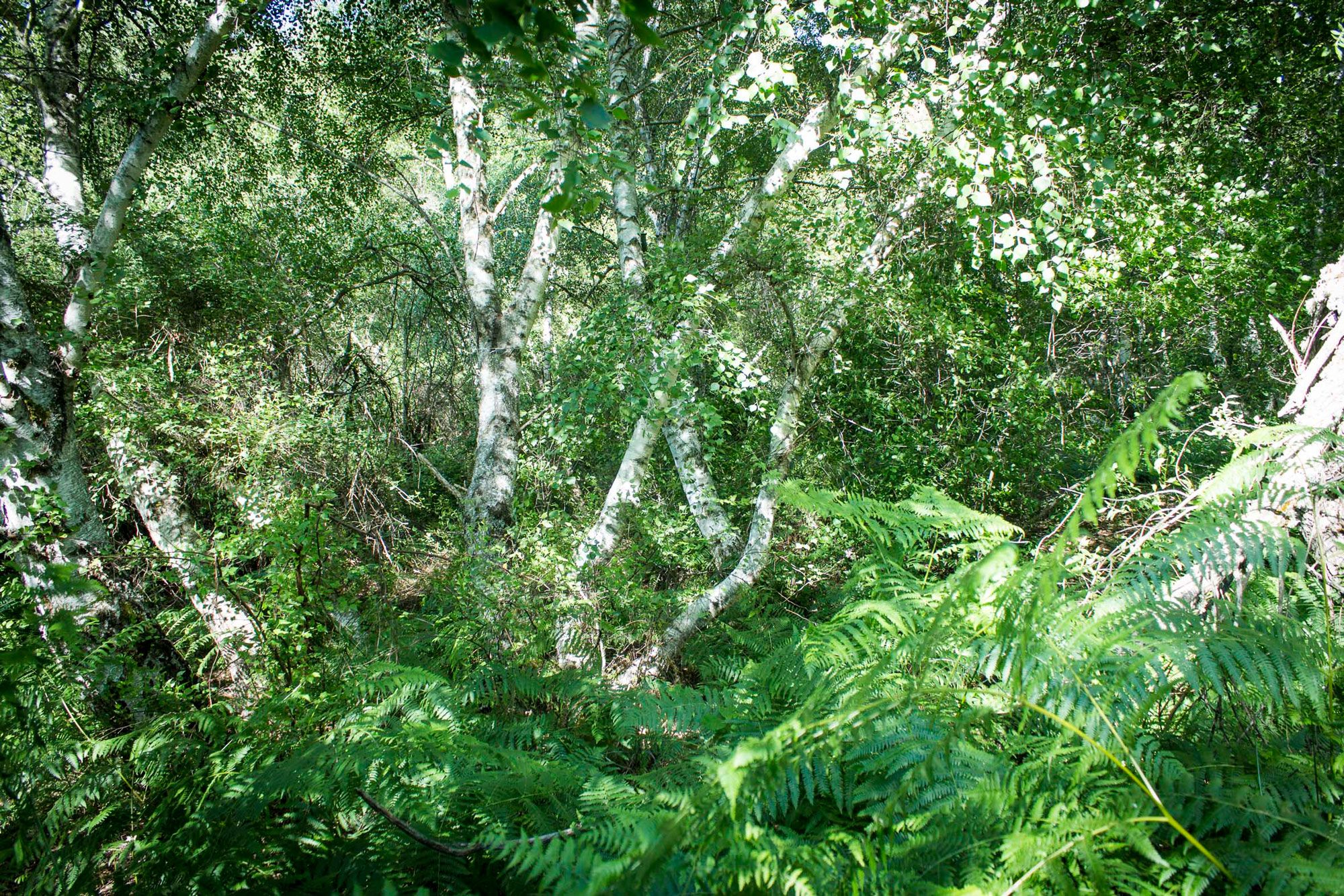
The Abedular de Riofrío, 20 km from Puebla de Don Rodrigo, is an almost unique spot in the Iberian Peninsula: located at an exceptionally low height (630 m) –usually found above 1,000 m of altitude– and occupying part of the Frío river for a noticeable distance of around three kilometres.
Before visiting, you must make an advance booking. Visits are always with environmental agents.
There are two routes: a short, one-hour option, perfect for kids, and a longer, four-hour option. The trailhead for both is accessed by car. The shorter route involves a trail with panels and walkways over the river.
The other option is a short trail (PR-CR 21) that will take around 3 hours on foot. It is called the Estrecho de las Hoces (Gorge Strait), where the Guadiana river winds around 100-metre high walls forming a beautiful gorge populated by junipers, strawberry trees, holm oaks, gall oaks and rockrose; storks, ducks, otters and kingfishers, among other birds, can also be sighted.
The journey begins in car from the main square of Puebla de Don Rodrigo, along the Villarta road, towards Estrecho de las Hoces. After around 8 km, we’ll reach a bridge across the Valdelobillos stream where it meets the Doña Juana stream. This is where we leave the car. We’ll see the signpost marking the start of the route.
The outbound stretch (3.2 km) ends at the spot called “Tabla del Burdalillo”, which allows us to explore the “Estrecho de la Murciana” downstream, or the “Estrecho de las Hoces” upstream. Along the way, we’ll enjoy some most unexpected views and nature.
May also be of interest to you
Castilla-La Mancha Tourism in 2023. All rights reserved.